Historic England has unveiled a new aerial map of England showing how the nation has evolved over the past century.
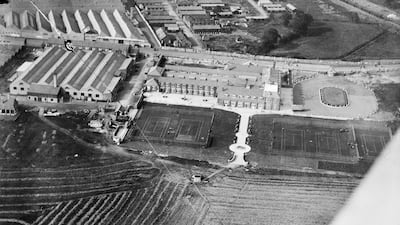
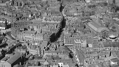
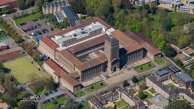
Landmarks across England are visible in more than 400,000 images that have been made available using a new aerial photography explorer tool.
The bird's eye views range from Second World War defences and nuclear power stations to Neolithic monuments, Roman farmsteads and medieval villages.
Images from 1919 to the present day have been added to the tool, covering nearly 30 per cent of the English countryside.
About 300,000 of the pictures are the work of Historic England’s Aerial Investigation and Mapping team.
Established in 1967, the team takes photographs of England from the air to discover new archaeological sites, create archaeological maps and monitor the condition of historic sites across the country.
Striking images include a survey of the damage done to the City of London during the Blitz, with St Paul's Cathedral remaining miraculously intact.
Bomb damage can also be seen in images of central Liverpool and the Albert Dock during and after the Second World War.
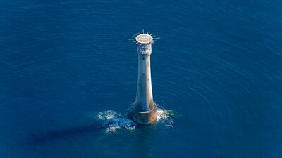
Other photographs show England's coast from the air, including the 19th century Bishop's Rock lighthouse and the remains of Fort Godwin in Yorkshire, which was used as a gun battery during both world wars.
Duncan Wilson, Historic England’s chief executive, said: “I am delighted that our new online tool will allow people to access easily our wonderful collection of aerial images and enjoy the historic photography that our team uses every day to unlock the mysteries of England’s past.”
Nigel Huddleston, the heritage minister, said the tool offered “a bird’s eye view of our past” and encouraged “everyone to explore the thousands of English sites from the last century”.


