Latest: Emirates cancels Mumbai flights after Tauktae cyclone makes landfall
Tropical cyclones will form quicker and become more frequent in the Arabian Sea because of climate change, an expert said as India braces for cyclone Tauktae.
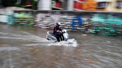
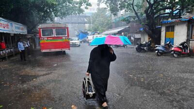
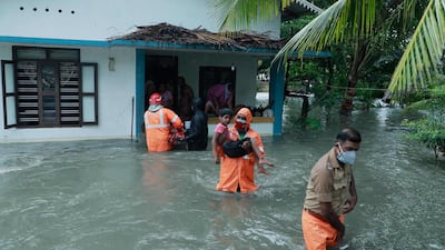
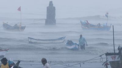
Authorities in north-western India, where heavy rains have fallen, moved tens of thousands of people out of low-lying areas in preparation for Tauktae, which is packing winds of more than 200 kilometres an hour.
The full force of the storm is likely to be felt in the state of Gujarat after at least a dozen people were killed when Tauktae skirted the coast farther south, damaging scores of houses.
Its development in the Arabian Sea highlighted an increasing rate of cyclone formation in the area, a trend that could cause more death and destruction in years to come.
Dr Roxy Mathew Koll, a climate scientist at the Indian Institute of Tropical Meteorology in Pune, said the Arabian Sea was experiencing some of the fastest warming of all tropical basins, areas where cyclones form.
"Cyclones draw their energy from the ocean," he told The National.
“The warming has provided that energy for the cyclones to form, which is why we’re seeing much more activity in the western coast of India.
“It’s not just cyclones, but rainfall. Extreme rainfall, of 150 millimetres a day, is increasing in the western coast because of the growing activity and convection in the Arabian Sea.”
Reports suggested that Tauktae, classified as an extremely severe storm by the Indian Meteorological Department, could be the worst tropical cyclone to hit Gujarat in more than 20 years.
Gusts of 210kph from Tauktae have been recorded, forcing roads and the airport in Mumbai, the capital of Maharashtra state, just south of Gujarat, to close.
In Gujarat, about 150,000 people have been moved from coastal areas as a precaution against extreme winds, rainfall and flooding.
The Bay of Bengal, on the eastern side of India, has long been a hotbed of tropical cyclone formation, and one, two or even three typically develop there each year.
But in recent decades the Arabian Sea, which used to be 1°C to 2°C cooler, has warmed up faster and, as a result, pre-monsoon cyclones have formed there for four years in a row.
Dr Koll said there were many reasons relating to circulation of the air and the oceans to account for faster warming.
The Indian Ocean, of which the Arabian Sea is part, is “much more landlocked” than other basins, which contributes to warming.
"The Indian Ocean is landlocked to the north," Dr Koll said. "That's why the heat doesn't get pushed out.
“These tropical climate projections, they’re showing the Indian Ocean will continue to warm in the Arabian Sea [area] … There’s a study showing extremely severe cyclones will increase in the Arabian Sea.
"We haven’t seen that much of an increase in the Bay of Bengal until now.”
As well as causing more cyclones to form, the warming of oceans is making them intensify faster, Dr Koll said, making it harder for forecasters to give early evacuation warnings.
Now, winds may intensify from between 100kph to 120kph to as fast as 220kph in less than 24 hours.
It is unclear, however, whether the trend means that the Arabian peninsula will suffer more from tropical cyclones, Dr Koll said.
The strongest recorded tropical cyclone to hit the Arabian peninsula was Gonu, which in 2007 caused dozens of deaths and billions of dollars of damage in Oman.
“Although we see more storms and cyclones in the Arabian Sea, we don’t have a clear understanding of the track they’re going to take,” Dr Koll said.
“That’s why we should probably focus on improving these models to see how the track might change in the future. We don’t yet have the data to say that this part of the Arabian Sea is going to [experience] more storms and cyclones.”


