Latest: Emirati towns set for relief as storm heads for southern Oman
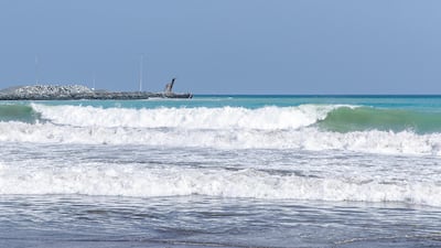
Rains, winds and storm surges from the Arabian Sea’s strongest cyclone in a decade hit Oman’s south coast on Tuesday morning.
The cyclone’s winds peaked at 241 kph, just shy of category 5 status.
Kyarr is the strongest cyclone in the Arabian Sea in 12 years, second only on record to the category 5 Cyclone Gonu that ravaged the coast in 2007.
The weakening cyclone is not projected to make landfall but the Oman MET office has warned seas will remain rough in the coming days.
Kyarr has been downgraded to a category 3.
“The centre of the tropical cyclone will be as close as 200 km away from the coasts with no chances of crossing the land,” said a statement by Oman's Directorate General of Meterology on Monday.
People shared videos of flooded low laying towns, from the city of Dibba in the Oman exclave of the Musandam Governorate south to the southeast peninsula of Ras Al Hadd.
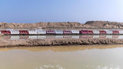
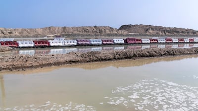
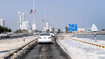
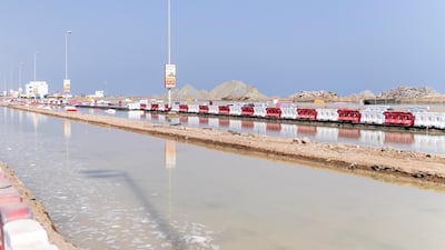
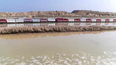
The cyclone also hit the UAE’s east coast, flooding streets in Kalba, Sharjah.
The North Indian Ocean has two cyclone seasons that bookend the summer monsoon season, in May and in late October and early November.
Climate change is increasing the probability of autumn cyclones in the Arabian Sea. They were once extremely rare.
There have only been four storms to reach category 4 or stronger since reliable satellite-based record keeping began.
But Cyclone Kyarr is the second in the North Indian Ocean this year and makes 2019 the most active cyclone season in the area on record.
Videos posted on Tuesday show long queues to leave Masirah Island on Oman’s south coast.
As skies cleared, people waded and floated through the flooded streets of south coast cities, as seen this video from Ras Al Hadd.
