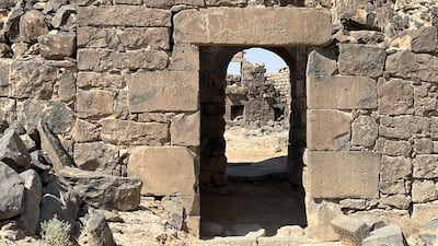
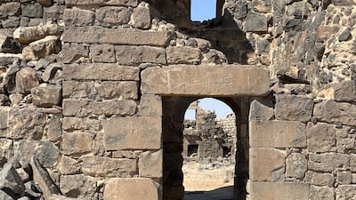
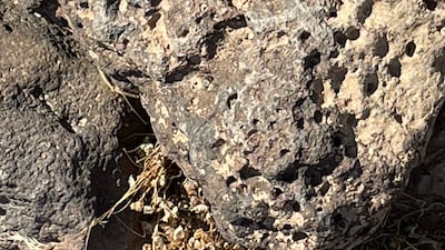
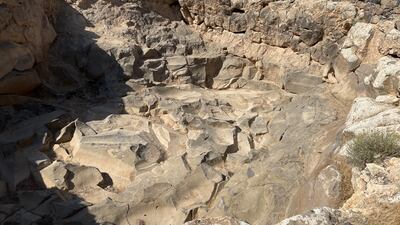
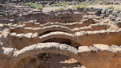
The black basalt arches of Umm Al Jimal make for a stark, standout image amid the barren landscape near Jordan’s northern border with Syria.
Once the domain of the Romans, the UN last month named this small city one of its World Heritage sites.
The endorsement could attract more tourists to Umm Al Jimal, which will now compete for tourists with the rose-rock city of Petra, the desert valley of Wadi Rum in southern Jordan, as well as the Roman city of Jerash, near the capital Amman.
The once-obscure city will now be added to the standard itinerary for tourists coming to the kingdom.
Umm Al Jimal is a two-hour drive from Amman, with long stretches of broken tarmac hindering progress.
It is 12km east of Mafraq, a dusty city that has seen increased economic activity in the past decade because many Syrian refugees took up residence there in the last decade.
But in a region rich in antiquity, it is easy to miss Umm Al Jimal, as tourists tend to visit the better known sites in Jordan.
In ancient times, a provincial road linked the present archaeological site to a trading route called the Via Nova, across the Fertile Crescent, the region in Western Asia and North Africa spanning Iraq, Turkey, Syria, Lebanon, Israel, Palestine and Egypt.
What's in a name?
The origin of the name of Umm Al Jimal, Arabic for "mother of camels", remains unknown.
Several thousand people lived on the 550,000 square metre site that was hit by an earthquake in the 8th century.
The city thrived on agriculture, unlike its neighbour Gadara, the modern-day Umm Qais, which was known as a cosmopolitan centre of learning and the birthplace of the Epicurean philosopher Philodemus.
The importance of Umm Al Jimal sprang partly from its location on the edge of the Hauran Plain.
Sited between the Arabian Peninsula and the Mediterranean, the plain had fertile soil and was the main source of grain and wine for the Levant.
Caravan traffic and the incense trade helped boost the economy of the area.
While other ancient cities in Hauran had advanced infrastructure and elaborate buildings, such as Gadara and Bosra, in modern day Syria, Umm Al Jimal stands out as being among the best preserved.
But little is known about its history, due partly to a lack of excavation in the area.
The site had shops, houses, mansions, a canal network, reservoirs, churches, garrison headquarters and municipal buildings.
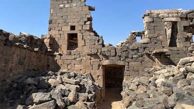
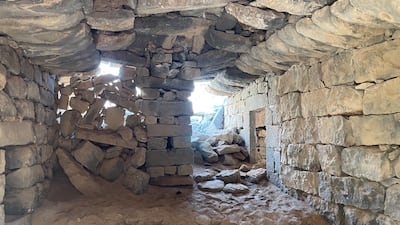
Some buildings still have their roofs intact.
Other structures were rebuilt by Druze Arabs who came from modern-day Syria and lived in the 1930s at the site.
Dethroning the Nabataeans
The Nabateans, the same people who built Petra, are thought to have also founded Umm Al Jimal.
One of the last Nabataean kings, Rabbel II (71-106), is said to have made Umm Al Jimal the capital of his kingdom, until the Romans overran the place.
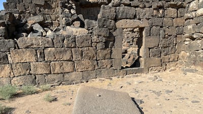
Few traces of Nabataean existence are left, except for their stones that were used by those who came later – the Romans, the Byzantines and the Arabs.
According to a report by the American Centre of Oriental Research, 150 buildings remain standing in Umm Al Jimal, having been constructed from recycled Nabataean and Roman structures.
"This is the sacred stone, which Masik, son of Awidha, made for Dushara (a Nabataean God)," reads the inscription on a basalt stone which appears to have once formed part of an altar.
The same stone has a Greek inscription, but it names the God as Dushara-Ara, linking it to Ara, a deity popular in nearby Bosra, according to Sue Rollin and Jane Streetly, authors of the 1996 Blue Guide on Jordan.
Sturdy building
Despite the scorching summer heat outside, houses maintain a cool temperature indoors.
"The thickness of the walls provides insulation,” says Mane Al Masaeed, a local guide. “They knew how to build them.”
A Roman barracks is among the largest structures.
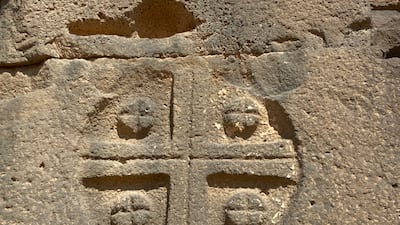
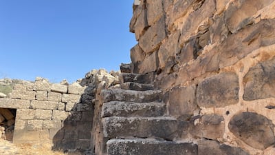
In Byzantine times, a chapel and six-storey tower were added, with the inscription of the four archangels: Michael, Gabriel, Raphael and Uriel, as well as a plea for protection.
During the First World War, French soldiers camped in the courtyard of the barracks, at the start of the great powers' scramble for the Middle East.
Many centuries before, Roman legionaries stood in the same spot.
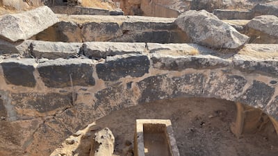
Much of the water system still works, bringing in water from nearby wadis to a large pool.
Bedouin inhabitants erected concrete walls in the 1950s.
Mr Al Masaeed, whose tribe has spread to Syria, Iraq and Saudi Arabia, points out tiny channels connected to the underfloor of one house.
"It is the drainage system and it still works," he said.
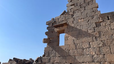
On one shaky edifice, archaeologists have numbered the stones, in case they fall, but many of the remaining walls are still strong due to the way in which they were built.
Several roofs are also still standing, due to their web-like design.
One roof that had fallen down was rebuilt by locals decades ago using the same stone and the same 'spider' way of putting up the walls.
Visitors can have the entire place to themselves, getting a real sense of what it was like to live in this grand site.
