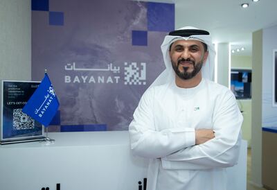
Two companies in the UAE are developing a swarm of radar satellites to send high-resolution images of disaster zones from space to boost critical relief efforts on Earth.
The Foresight constellation is a joint effort by Bayanat, a company responsible for processing satellite data, and satellite services company Yahsat, and will offer assistance to teams on the ground amid floods, earthquakes and other extreme events and crises.
It will deliver detailed images from orbit, regardless of weather conditions, day or night, and can “see” through clouds, smoke and debris to provide real-time data.
One of the planned seven synthetic aperture radar (SAR) satellites was launched aboard a SpaceX rocket last month, with the remaining to be placed in orbit over the next three years.
Such sophisticated imagery can help emergency workers to better understand the scale of incidents and pinpoint where help is needed most.
It highlights the value of the two companies working in tandem to harness technology as they plan to merge to establish a $4.1 billion AI-powered space technology business called Space42.
Helping to weather the storm
Hasan Al Hosani, Bayanat's managing director, told The National that the satellites would have helped assess the damage caused by the heavy rain in the UAE this year, which triggered flash flooding in the main cities, inundated roads and disrupted transport and people's daily lives.
“While we are waiting to get the satellites up in the orbit, we’ve actually been researching, developing and playing with SAR quite some time,” he said.
“We launched a platform called ‘AI for disaster management’ at Cop28, which utilises synthetic aperture radar data along with other means of remote sensing data.
“And, in partnership with the UAE Space Agency, we've done a case study on the earthquakes in Turkey and Syria… and on the heavy rainstorm that we’ve had earlier this year, as well as on the flood in Fujairah a couple of years ago.”

To build these case studies, Bayanat had to rely on observations made by spacecraft owned by other organisations.
But, once the Foresight constellation becomes active, it would have access to its own data, with satellites that will take detailed images of the location being studied.
Bayanat and Yahsat are working with European company ICEYE to develop the satellites, which are expected to also help with other sectors, such as urban planning and environmental monitoring.
“We're working closely with the Environmental Agency of Abu Dhabi on both the agri-tech (agriculture technology) perspective and also on preservatories, so we can monitor, for example, the migration of birds,” said Mr Al Hosani.
“There are different applications that the SAR data can be utilised for, for example, we can also monitor oil spills if it happens.”
Natural disasters captured from space - in pictures
The companies are also planning to build a dedicated centre, where future Foresight satellites would be assembled, integrated and tested, called an AIT facility.
Anna Hazlett, founder of AzurX, a UAE-based private advisory firm specialising in the space sector, told The National that the project was a welcome boost to the local space sector, which is currently valued at Dh40 billion.
“In terms of the UAE space sector, Bayanat’s Foresight SAR satellites represent a landmark,” she said.
“Not only are they the country’s first SAR capability, they will also boost the local space sector through the construction of a new satellite AIT facility in the UAE.
“This alone will have a positive secondary impact on the local space economy for engineering work and other services such as legal, insurance and financing.”
The UAE has been investing heavily in Earth observation capabilities, with the local market size currently estimated at $980 million and is expected reach $1.49 billion by 2029, according to market research company Mordor Intelligence.
The Mohammed bin Rashid Space Centre (MBRSC), based in Dubai, has developed and launched five Earth observation satellites since 2009, ranging from nanosatellites (miniature satellites) to small-sized ones.
It will soon launch MBZ-Sat, its sixth Earth observation satellite that is meant to be the organisation's most advanced one yet.
Due to launch in October aboard a SpaceX rocket, it can also monitor climate change, urban development and disaster response.
Adnan Al Rais, an assistant director-general at the MBRSC, said at Sharjah’s International Government Communication Forum this year that MBZ-Sat could also help in the fight against fake news on climate change.
“Satellites and space technologies play a significant role as tools for providing accurate information by covering different locations around the world, especially remote areas without available services,” he said.
MBZ-Sat will deliver "three times the data our previous satellites offered”, benefiting decision-makers in sectors such as urban planning and environmental management, according to Mr Al Rais.
“We are part of the international charter to provide satellite images to countries facing natural disasters and, last year alone, we provided over 150 reports with satellite imagery to help these countries quickly manage crises,” he said.
Additional reporting by Salam Al Amir


